Skip to content
GeziBilen Dijital Rehber
City Guide

İzmir

Places to see, tried-and-tested routes and local stories for İzmir, all in one guide.
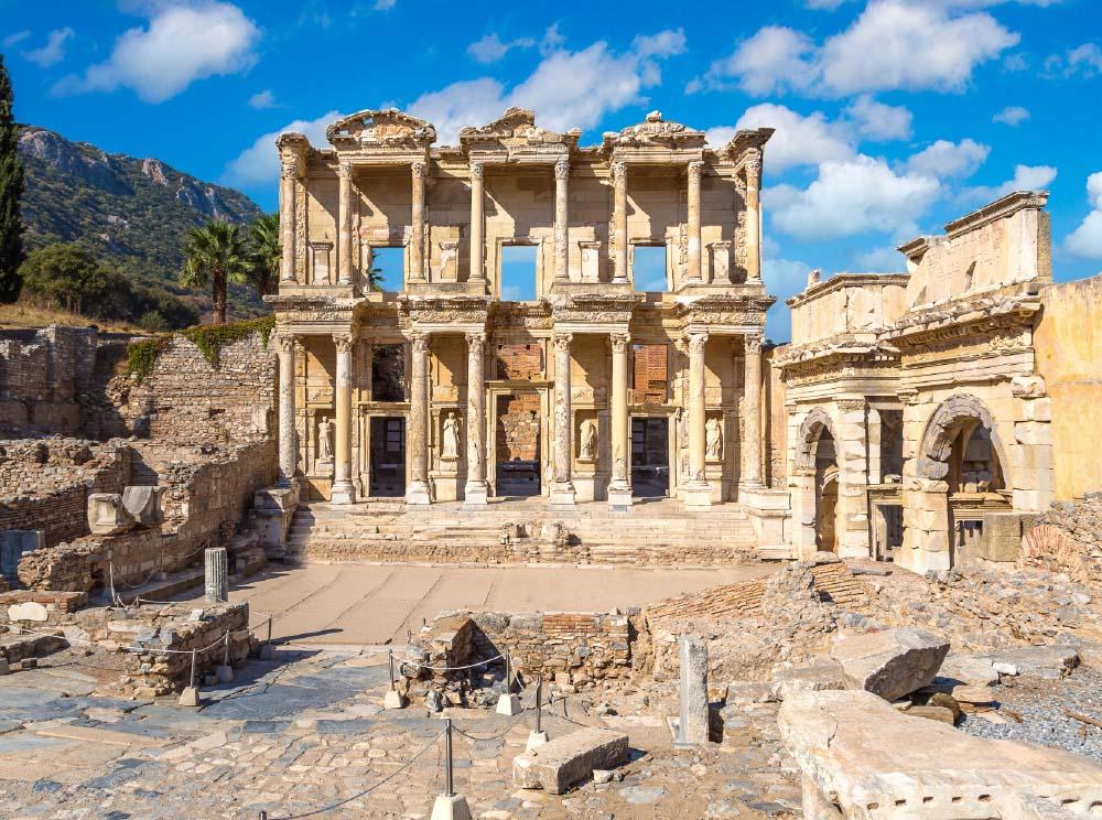
Area
12.007 Km²
Population
4.365.251 (2019)
Number of districts
30 (2020)
İzmir
İzmir photo 2
İzmir photo 3
City Information

Know before you go

The essentials about İzmir at a glance.
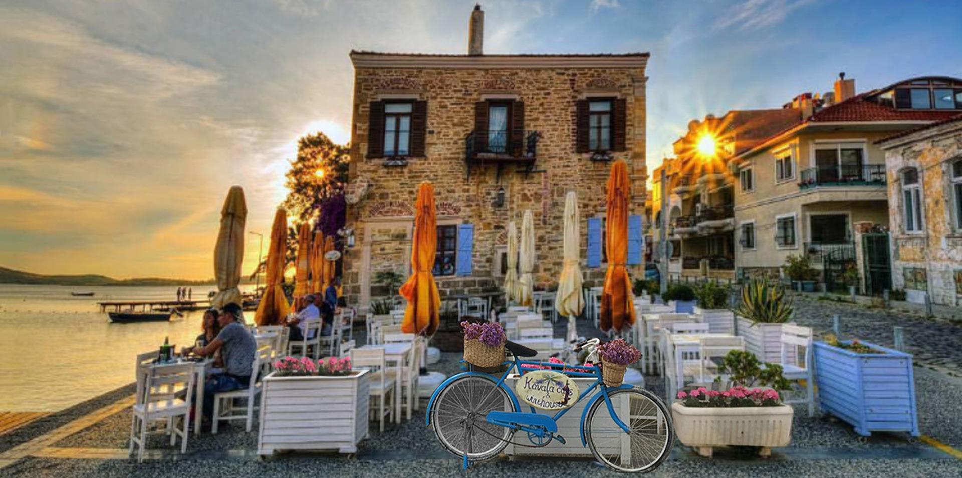
İzmir City Information

Area
12.007 Km²
Population
4.365.251 (2019)
Number of districts
30 (2020)
Number of Neighborhoods
1.298 (2020)
Dial Code
0232
Plate Code
35

Geopgraphical Location

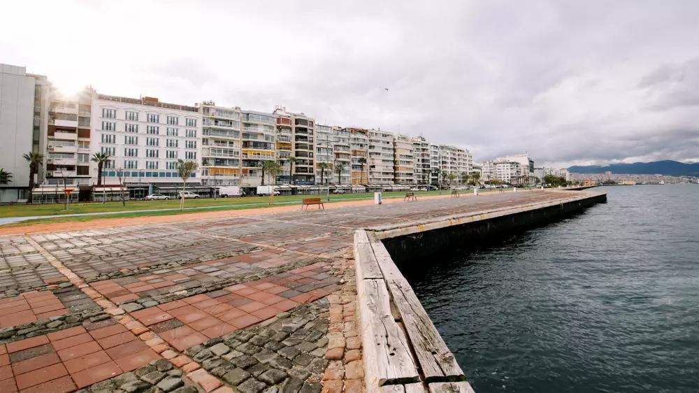
Located on the coastline of the Aegean Region, İzmir is the second largest city of Turkey. It is bounded by the province of Balıkesir to the north, Aydın to the south, the Aegan Sea to the west and Manisa and Aydın to the east. The area is an important tourism destination as there are countless natural beauties like bays and beaches due to its zigzag topographic structure. Being a natural port city, İzmir has Mediterranean climate, that’s why it is hot and dry in summer despite being warm and rainy in winter.

Food Culture

İzmir is mostly famous for fish dishes. However, the following delicacies also can be counted in its cuisine: boyoz (a type of pastry), kumru (a type of sandwich ), lokma (a type of pastry), İzmir meatball ( a dish made of meatball with potato and vegetable casserole), sura (limbs stuffed with rice), şevketi bostan(a local vegetable-silybum marianum),İzmir tulumu (a special type of cheese), kuşkonmaz kavurması (a dish made of local vegetable -asparagus officinalis), kirde kebabı (a kebab with yogurt sauce and crepe) and asma yaprağına barbunya (red mullet cooked with grape leaves).

Districts

  • Aliağa
  • Bayındır
  • Bergama
  • Bornova
  • Çeşme
  • Dikili
  • Foça
  • Karaburun
  • Karşıyaka
  • Kemalpaşa
  • Kınık
  • Kiraz
  • Menemen
  • Ödemiş
  • Seferihisar
  • Selçuk
  • Tire
  • Torbalı
  • Urla
  • Beydağ
  • Buca
  • Konak
  • Menderes
  • Balçova
  • Çiğli
  • Gaziemir
  • Narlıdere
  • Güzelbahçe
  • Bayraklı
  • Karabağlar