
Şanlıurfa City Information
- Area
- 18.584 Km²
- Population
- 2.035.809
- Number of districts
- 13
- Number of Neighborhood
- 1379
- Dial Code
- 0414
- Plate Code
- 63

Places to see, tried-and-tested routes and local stories for Şanlıurfa, all in one guide.
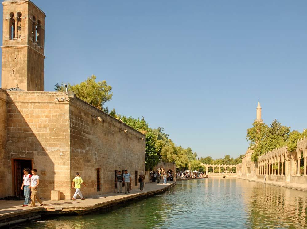


The essentials about Şanlıurfa at a glance.
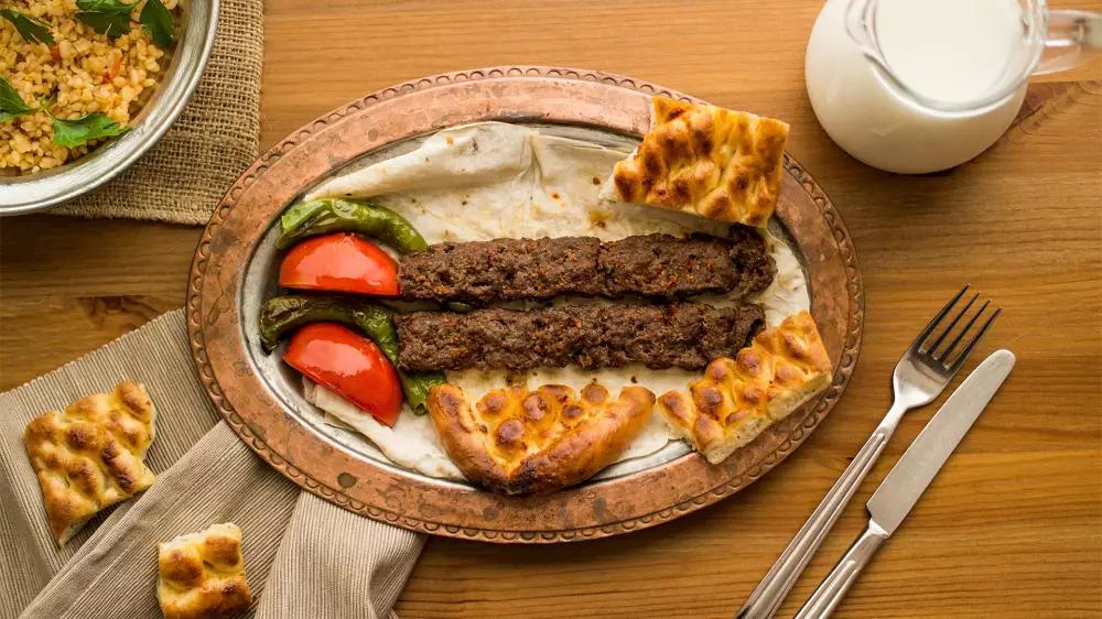
With its unique structure from Balıklıgöl to Halfeti, from Göbeklitepe to Yücelen Caves, Şanlıurfa, the city of prophets, also has
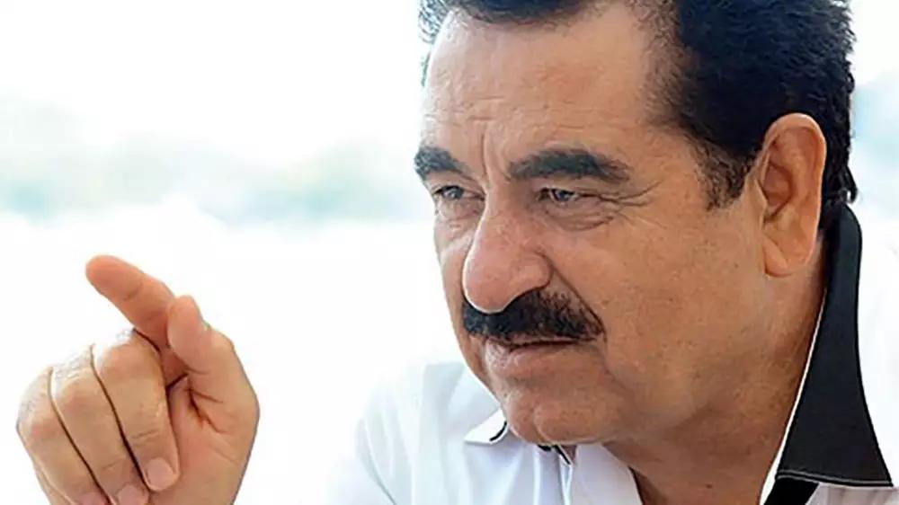
İbrahim Tatlıses is known for his voice of four octaves and his nickname as “Emperor” of Turkish folk and arabesque music. He is a
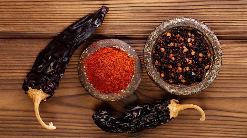
Ladies and gentlemen, here we are at the end of our visit to Şanlıurfa... We should not return empty-handed from this unique city,
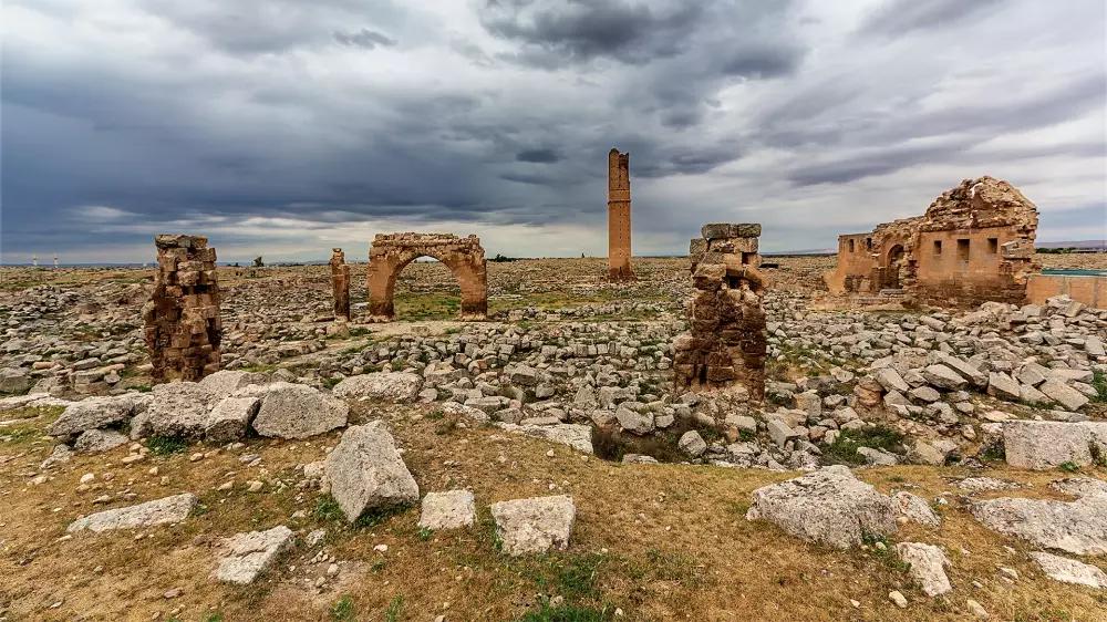
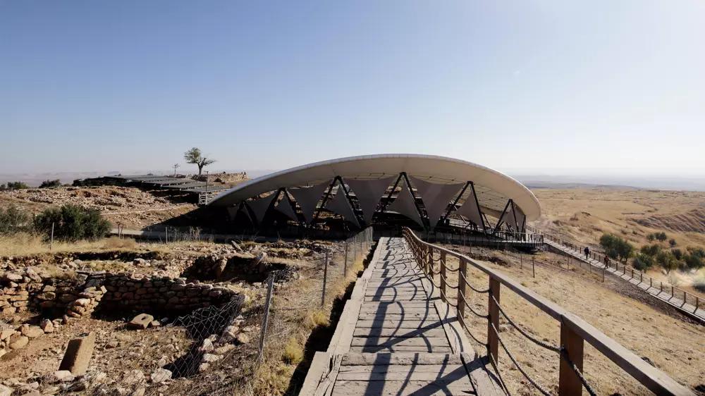
We have listed the most glorious places to visit while you are in Şanlıurfa; otherwise, you'll regret it. Here you are.Göbeklitepe