Skip to content
GeziBilen Dijital Rehber
City Guide

Van

Places to see, tried-and-tested routes and local stories for Van, all in one guide.
AREA
20.921 Km²
Population
1.136.757 (2019-TÜİK)
Number of Districts
13 (2020-TÜİK)
Van
Van photo 2
Van photo 3
City Information

Know before you go

The essentials about Van at a glance.
Van City Information

AREA
20.921 Km²
Population
1.136.757 (2019-TÜİK)
Number of Districts
13 (2020-TÜİK)
Number of Neighbourhoods
691 (2020-TÜİK)
Dialing Code
0432
Plate Code
65

Geographical Location

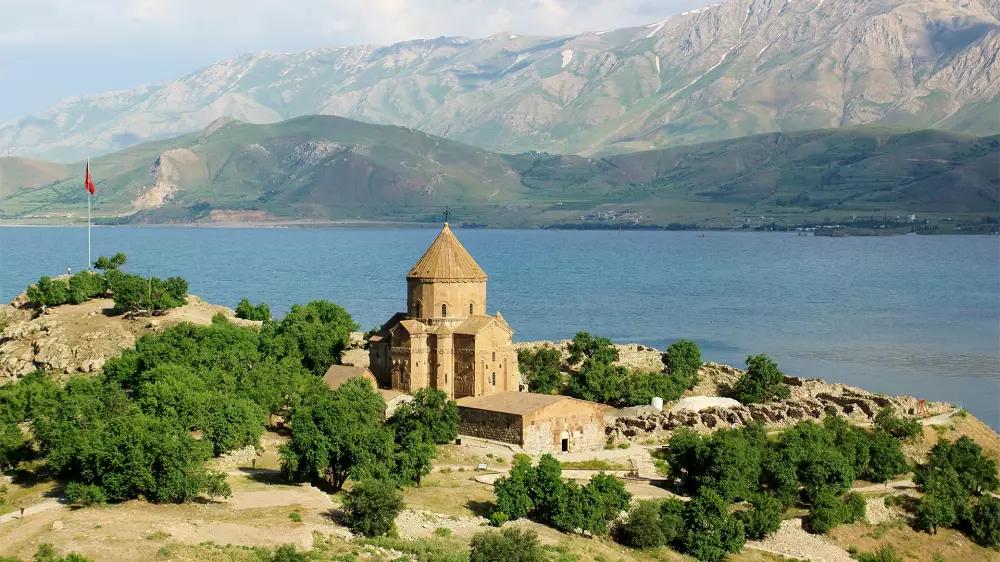
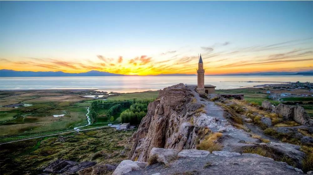
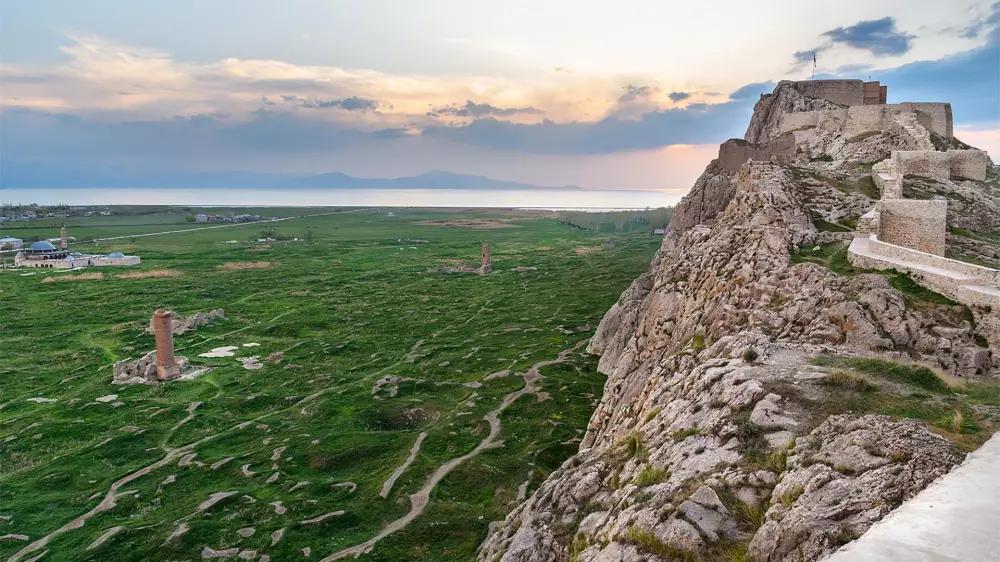
Van, is the 19th most populous province of Turkey and the most populous one of Eastern Anatolia Region. The city is bordered by Ağrı to the north, Bitlis to the west, Siirt to the southwest, Hakkari to the south and Iran to the east. This city, which is one of the oldest continuously inhabited cities in the world, is located on the shore of Van Lake, the biggest closed basin of Anatolia. Van has a continental climate and steppe vegetation. For this reason, the winter is harsh in the city due to the intense snowfall.

Food Culture

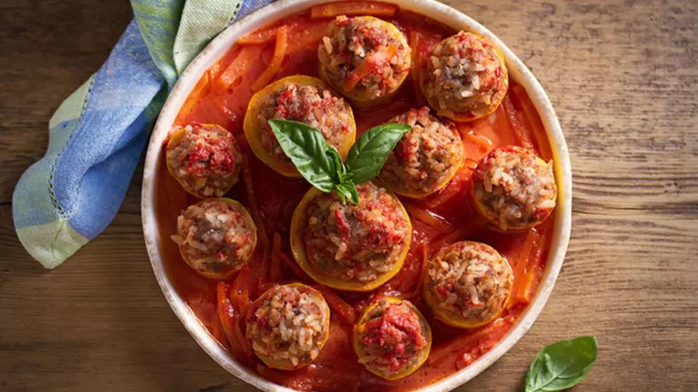
Among the local delicacies of Van, famous for its breakfasts, there are Çiriş (affodill) pilaf, Van fish, kurut aşı (a meal made of dried and ground milk), sengeser meal (another local meal made of kurut and meat), murtuğa (a dish made of egg and flour for breakfast), spinach borani (a side with spinach and yogurt), ayranaşı soup(a soup made of yogurt), Kurdish meatballs, Van herby cheese, helise meal (made of wheat and meat), kavut (roasted and ground wheat), quince meal, bulgur aşı (bulghur wheat meal), Keledoş (a meal mede of wheat) and kaşık dessert (a local dessert).

Districts

  • Başkale
  • Çatak
  • Erciş
  • Gevaş
  • Gürpınar
  • İpekyolu
  • Muradiye
  • Özalp
  • Tuşba
  • Bahçesaray
  • Çaldıran
  • Edremit
  • Saray