Skip to content
GeziBilen Dijital Rehber
City Guide

Kars

Places to see, tried-and-tested routes and local stories for Kars, all in one guide.
Area
10.127 Km²
Population
284.221
Number of districts
8
Kars
Kars photo 2
Kars photo 3
City Information

Know before you go

The essentials about Kars at a glance.
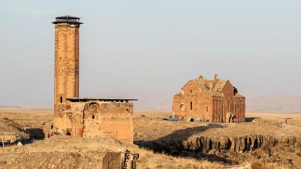
Kars City Information

Area
10.127 Km²
Population
284.221
Number of districts
8
Number of neighbourhoods
57
Dial Code
0474
Plate Code
36

Geographical Location

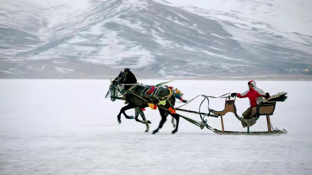
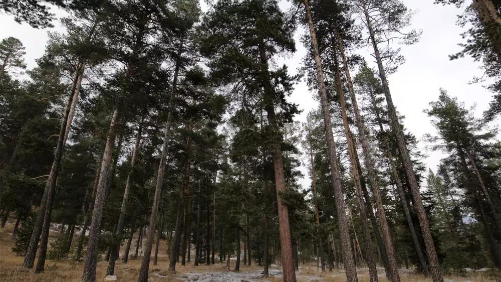
Located on the northeastern part of Eastern Anatolia region, Kars is bordered by Ardahan, Erzurum, Ağrı and Iğdır as well as Armenia. The city, which can also be named as “border town”, is prominent as it is the only closed border gate to the Armenia. It consists of mostly highlands terrain and Soğanlı, Akbaba and Kısır mountains are in the region. Kars has mostly continental climate because of its location and vegetation is shaped depending on its climate. The city has the soil in which seed plants can grow by themselves and there are approximately 1250 plant species in the city, more than one hundred of which are endemic.

Food Culture

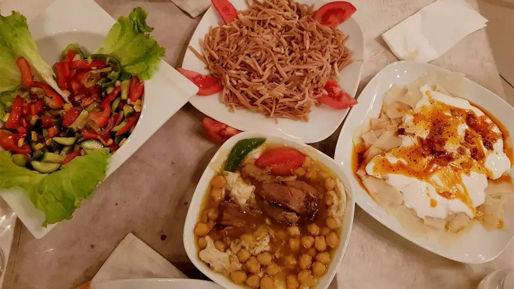
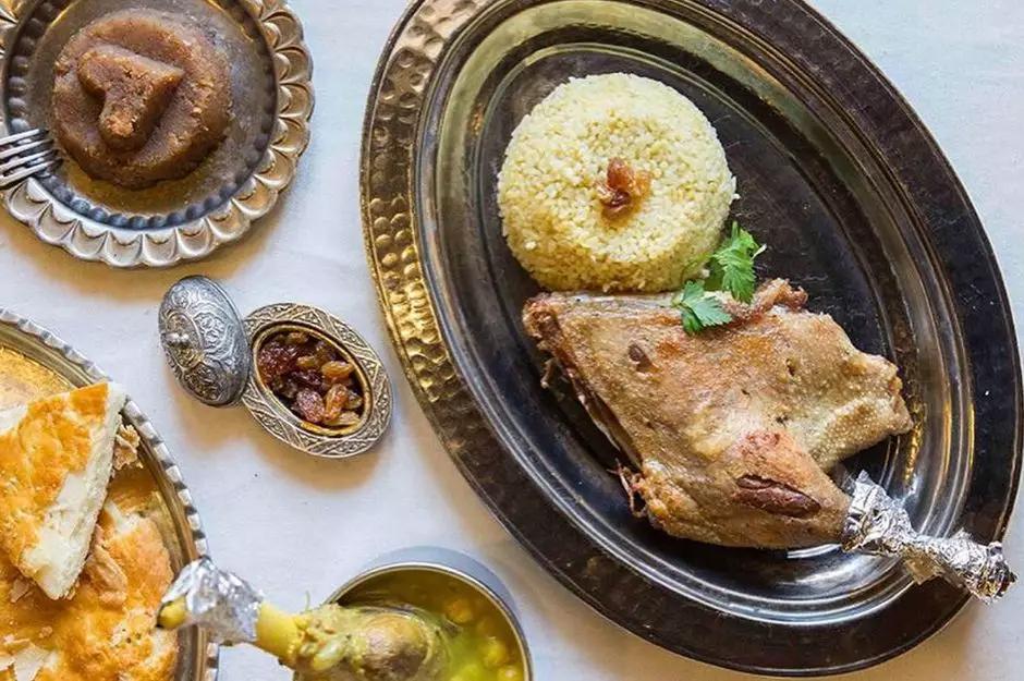
Food culture of the city is also as diverse as its historical heritage. Some examples of the local tastes of the city are Umaç halva (a local halva),hörr(a special soup made of flour),Kars böreğİ (local pastry),hıngel/hangel (local type of ravioli),kete (a type of pastry), erişte pilavı( pilaf with a type of noodle),haşıl (a dish made of wheat and flour),ekşili et (stew with sour sauce),feselli (a type of pastry with flour), hasuda (a side made of flour and water with butter),kaz asması (goose fried in tandouri), nezih (a pastry made with cream) and kuymak (a dish similar to omelet with cheese).

Districts

  • Arpaçay
  • Digor
  • Kağızman
  • Sarıkamış
  • Selim
  • Susuz
  • Akyaka